
Eastern Iowa, United States
News Desk | National Weather
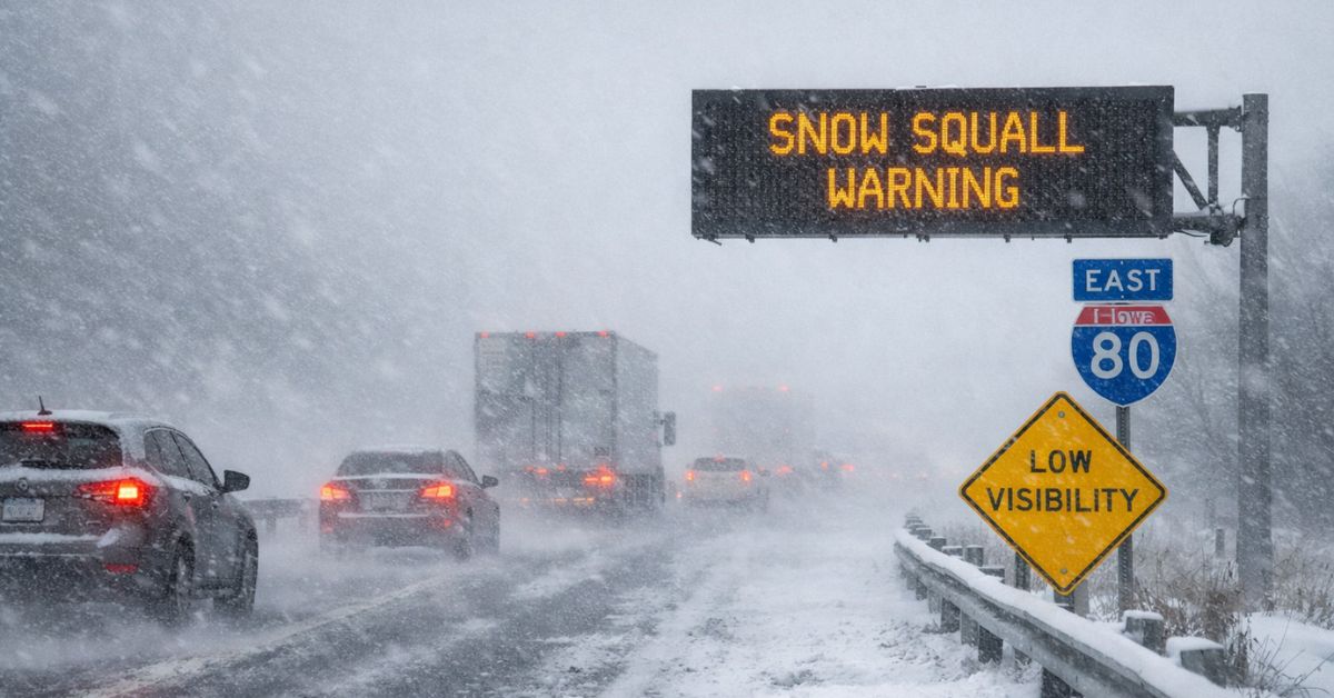
Snow Squall Warnings have been issued Sunday across parts of eastern Iowa as a powerful winter storm system moves through the region, bringing sharply falling temperatures, strong winds and rapidly deteriorating travel conditions, according to the National Weather Service (NWS) and local forecast offices.
Meteorologists reported that narrow, intense bands of snow — known as snow squalls — are affecting sections of Cedar Rapids, Waterloo, Marshalltown, Grinnell and surrounding areas, producing sudden whiteout conditions and near-zero visibility that pose a risk to motorists.
Early Sunday, the NWS in Des Moines issued Snow Squall Warnings covering central and northeastern counties including Black Hawk, Jasper, Tama and Grundy, warning of hazardous conditions with heavy falling snow, blowing snow and gusts exceeding 45 mph.
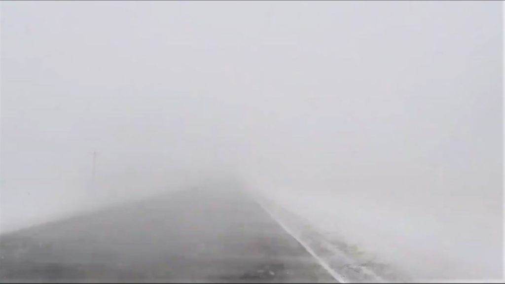
Snow squalls are brief but intense bursts of heavy snow driven by a sharp cold front, capable of rapidly dropping visibility and coating roadways within minutes, the NWS defines.
Officials and weather teams in Iowa emphasized that the National Weather Service and local forecast offices tagged the day as a “First Alert” due to the combined impacts of changing precipitation, winds and potential squalls.
Timeline of Events
- Morning to afternoon, Dec. 28, 2025: Snow squall warnings were activated as a winter storm system advanced into the Upper Midwest.
- Warnings in effect: Several counties in eastern and central Iowa under active snow squall warnings with rapid changes in conditions expected through the early afternoon.
- Forecast conditions: Strong northwest winds and a transition from rain to snow early in the day contributed to deteriorating visibility and slick surfaces.
Official Sources & Statements
The National Weather Service provides the operational warnings and hazard criteria for snow squalls, indicating that the warnings are based on expected visibility of less than a quarter mile, sub-freezing ground temperatures, and bursts of intense snowfall lasting generally less than an hour.
Local First Alert weather teams reiterated the risk of snow squalls and advised that if a snow squall warning is posted for a specific area, non-essential travel should be avoided until conditions improve.
Impact & Public Relevance
Snow squalls can create sudden whiteout conditions and icy road surfaces within minutes, significantly increasing the likelihood of traffic accidents and stranded vehicles. Weather.gov Travelers along Interstate 80 and secondary highways through eastern Iowa are most at risk, with authorities urging motorists to seek shelter and delay travel while warnings remain in effect.
What Happens Next
The NWS continues to monitor the storm’s progression as the cold front and associated squall bands move eastward through the afternoon. Additional warnings and advisories may be issued if conditions deteriorate or shift. Residents are advised to check the latest forecasts and county-specific warnings via official NWS channels and local media.
ALSO READ: Drake Maye Throws Four First-Half Touchdowns as Patriots Rout Jets